
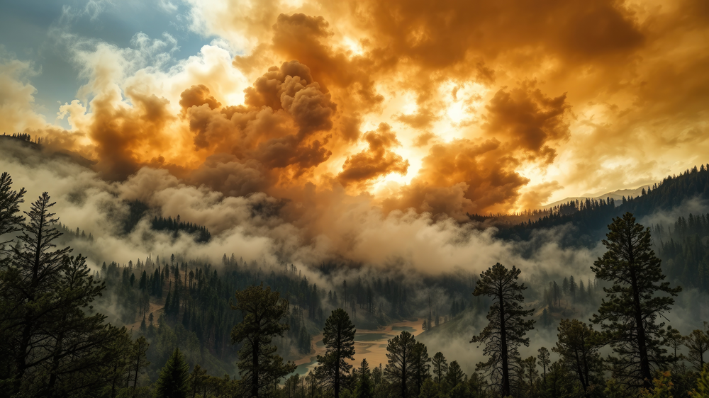
Wildfires are a growing threat to people and property in the United States. For public safety professionals, fire agency administrators, and emergency managers, reducing the risks of this threat means staying steps ahead of the flames—by knowing what they may do next.
Fortunately, new technology in fire prediction modeling is changing how first responder agencies prepare for, detect, and respond to wildfire events. By harnessing AI, high-resolution satellite imagery, and ground-based sensors, modern forecasting tools can accurately predict a wildfire’s path, intensity, and growth rate. This data-driven approach allows public safety operations to move from reactive containment to proactive, highly targeted response.
Why Wildfire Prediction Technology Has Become a Public Safety Priority
Decades of global warming, prolonged droughts, and accumulated forest fuels have drastically altered how wildland blazes behave. As a result, what was once viewed as an isolated seasonal wildfire threat has evolved into a year-round crisis for first responders.
How Wildfire Behavior Has Changed
Due to the factors outlined above, today’s wildfires are burning hotter, moving faster, and even generating their own weather systems! As a result, legacy methods of tracking fire activity are no longer sufficient to predict wildfire risk. To meet these challenges head-on, agencies are increasingly adopting advanced wildfire technology to monitor and analyze the environment.
The Operational Stakes for First Responders
The unpredictability of modern wildfires puts first responders at extreme risk. When fire paths change in minutes, delayed information can block evacuation routes, strand crews, and result in catastrophic loss of life and property.
Rapid, reliable wildfire intelligence is the difference between safely deploying resources and fire crews being outflanked by a rapidly moving front. This is where the FirstNet public safety wireless broadband network comes in: Built by first responders for first responders, FirstNet provides reliable communications through its Band 14 VIP lane for public safety traffic, Priority and Preemption service that puts them first, and capabilities purpose-built to support wildfire communications.
How Modern Wildfire Prediction Models Work
Today’s wildfire prediction models harness on-site sensor data, drone footage, and first responder field reports with modern mapping software and AI processing to deliver the very best intel to crews in the fire zone.
From Static Maps to Dynamic Spread Models
In the past, wildfire predictions were based on static topographic maps, rudimentary weather forecasts, and field reports to estimate where a blaze might head next. Today, AI-driven dynamic spread models take in continuous streams of environmental data to predictively simulate the wildfire’s progression across a 3D landscape. These models do this by evaluating fuel moisture, wind velocity, slope gradients, and temperature in near-real-time, automatically updating their projections as conditions shift on the ground.
Of course, this move toward dynamic models requires a critical shift in how commanders interpret data. In an interview on the Catching Wildfire podcast, produced by the Public Safety Broadband Technology Association, Emergent President David Blankenship recalled a mentor’s lesson about using predictive maps as if they were absolutely accurate. “You know that the models that you’re showing over or under predict, right?” said Blankenship. “That’s not exactly [the] square foot of where it is.” This is why modern dynamic modeling constantly adjusts a wildfire’s boundaries based on constantly updated information.
How Models Generate Wildfire Spread Predictions in Real Time
Generating an accurate wildfire spread prediction starts by layering digital terrain models (topography), fuel characteristics (vegetation type and moisture levels), and live meteorological feeds (wind speed, direction, and ambient temperature) on a computer map. The system’s predictive engine then runs thousands of automated calculations to forecast how the fire will behave over the next several hours.
Wildfire AI: Machine Learning and Deep Learning in Fire Prediction
Think of it as a Big Brain on steroids: AI-driven wildfire prediction software analyzes decades of historical fire data, spotting patterns that human analysts might miss. It then uses this knowledge to make fact-based predictions on where a wildfire is most likely to start under specific conditions, how fast it will grow and where, and what resources will be required to stop it.
In practice, AI-driven “deep learning” systems process data from live camera feeds and satellite streams to identify smoke patterns before they are visible to the human eye. Their “neural networks” also assess the interaction between weather patterns and complex terrain, anticipating sudden flare-ups or radical shifts in fire behavior before they occur.
Wildfire Detection Technology: Satellites, Sensors, and Ground Systems
The foundation of effective wildfire prediction is rapid, accurate early detection. This is achieved using a range of surveillance platforms.
Satellite Detection and Early Warning Systems
Low-Earth orbit (LEO) and geostationary (GEO) satellites equipped with high-resolution infrared and multispectral cameras scan the Earth continuously. They serve as early warning systems, capable of identifying thermal anomalies and smoke columns from space within minutes of ignition. Once a possible wildfire has been detected, its coordinates are instantly transmitted to prediction models to determine the fire’s starting point—a critical metric for determining its future pace of growth.
Ground-Based Sensor Networks and Camera Systems
While satellites provide the Big Picture view, ground-based systems deliver hyper-local intelligence. To do this, networks of connected sensors are installed in high-risk zones to monitor air quality, soil moisture, and atmospheric conditions. Additionally, AI-enabled optical camera networks placed on mountaintops and utility towers scan the horizon 24/7. When these optical sensors detect early signs of smoke, they instantly alert dispatch centers, often before a 911 call is ever placed.
Wildfire detection also includes first responders patrolling the ground. Speaking on the Catching Wildfire podcast, retired California State Fire & Rescue Chief Kim Zagaris detailed the utility of ground personnel using integrated FLIR thermal cameras directly on the fire line to “see those hotspots” during active operations and tactical mop-up.
How Detection Data Feeds Into Prediction Models
Wildfire detection and prediction do not operate in silos; they are inherently linked. Every data point gathered by wildfire detection tech—from a spike in wind speed recorded by a drone to an initial thermal ping from a satellite—is fed directly into the spread models.
Historically, the missing link in this workflow was the latency (delay) between gathering raw data and delivering it to decision-makers. FirstNet minimizes this latency through its robust and reliable network, and its move to 5G. Sonim Technologies’ Head of Product, Michael Coad, emphasized this evolution on the Catching Wildfire podcast: “With the 5G connectivity, it’s no longer just a standalone thermal sensor camera,” he said. “You can live stream that or send images and pictures, videos back to a command center.”
What Is Next for Wildfire Technology
As wildfire prediction tech continues to evolve, the integration of digital twins, autonomous drone swarms for initial suppression, and advanced atmospheric modeling will become standard practice. Looking toward future manufacturing roadmaps on the Catching Wildfire podcast, Coad noted that developers are exploring “adding night vision alongside thermal and then AI.”
Collectively, these advances will give first responders an extra advantage in detecting, locating, and containing wildfires in the future—aided by the reliable connectivity and coverage provided by FirstNet.
FAQ
How does wildfire prediction technology work?
Modern wildfire prediction models use real-time data on topography, fuel moisture, wind, and temperature to run physics-based simulations of a fire’s path. By analyzing these variables continuously, the models generate dynamic maps that forecast a wildfire’s spread rate and direction over time.
What is wildfire AI and how is it being used by public safety agencies?
Wildfire AI-enabled prediction systems analyze vast amounts of satellite imagery, weather patterns, and historical fire data. Public safety agencies use these systems to estimate wildfire risk, automate the early detection of smoke and thermal anomalies, and make accurate decisions about responses during active incidents.
How does FirstNet support wildfire detection and prediction operations?
FirstNet provides a secure, prioritized wireless broadband network that ensures critical data—such as high-resolution satellite maps, live sensor feeds, and AI spread predictions—reaches first responders in the field. During wildfires where commercial cellular networks fail or lack coverage, deployable FirstNet assets and personnel guarantee that command centers and frontline crews remain connected.


Be the first to comment on "How New Wildfire Prediction Technology Helps First Responders Stay Ahead of the Flames"